Google, a global technology giant, has consistently been at the forefront of innovation, and one of the key areas where it has made a profound impact is in Geographic Information Systems (GIS) and mapping. The company’s GIS solutions, led by Google Maps, Google Earth, and other location-based services, have transformed how people interact with geographic data, making mapping more intuitive, accessible, and comprehensive than ever before. Google is not just creating maps; it is reinventing the very concept of GIS by integrating real-time data, artificial intelligence, and cloud computing, allowing users to explore the world in ways previously unimaginable. The transformation of mapping and GIS by Google is most visible in the way people now rely on its platforms for everything from navigation and business logistics to environmental monitoring and disaster response. Google’s ability to combine satellite imagery, street-level views, real-time traffic updates, and user-generated data has made its GIS solutions indispensable across industries. Whether it’s a daily commute or a complex logistical operation, Google has embedded its mapping solutions deeply into the fabric of modern life, making it a crucial player in the GIS space.
At the core of Google’s GIS offerings is Google Maps, a platform that has evolved from a basic digital map into a sophisticated tool capable of providing real-time data on traffic, weather conditions, public transportation, and points of interest. Google Maps now does more than simply guide users from one location to another; it offers a suite of features that empower businesses, governments, and individuals to interact with the physical world in smarter ways. For instance, Google Maps provides real-time traffic updates, helping users avoid congestion and optimize travel routes. This is particularly valuable for companies in logistics and transportation, where efficiency is critical. By integrating live data streams, Google enables businesses to make informed decisions based on current conditions, ultimately saving time and resources.
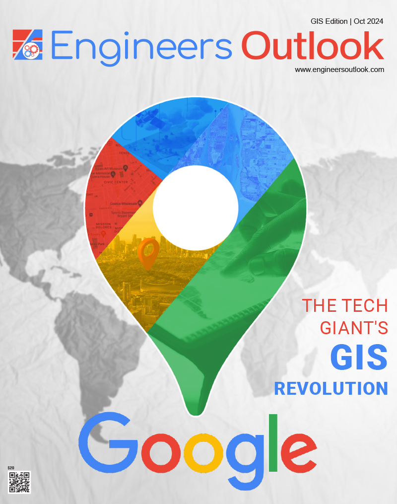
The Most Essential Mapping Tool
In addition to navigation, Google Maps has become an essential tool for urban planning, infrastructure development, and environmental monitoring. Cities around the world are utilizing Google’s GIS data to plan new infrastructure projects, monitor traffic patterns, and develop smart city initiatives. Google’s Street View technology, which offers a 360-degree view of streets and neighborhoods, has allowed city planners and engineers to visualize and assess urban areas remotely, making project planning more efficient and less costly. This level of detail provides unprecedented insights into geographic spaces, offering a new level of precision in urban development and environmental planning. Beyond Google Maps, the company’s GIS offerings extend to Google Earth, a platform that offers immersive 3D mapping capabilities. Google Earth allows users to explore the globe in high resolution, combining satellite imagery, aerial photography, and geographic data to create an interactive experience. Originally launched as a tool for geographic exploration, Google Earth has evolved into a vital resource for researchers, educators, and businesses. The platform enables environmental scientists to monitor deforestation, track climate change, and analyze geographical changes over time. By offering these visual and analytical tools, Google Earth has made it easier for organizations to gain insights into the planet’s ecosystems and apply that knowledge to conservation efforts.
One of Google’s key innovations in the GIS space is its use of artificial intelligence (AI) and machine learning to improve the accuracy and functionality of its mapping tools. Google has integrated AI into its GIS systems to provide more personalized and context-aware experiences. For instance, Google Maps can now predict user behavior, suggesting the most likely destinations based on previous patterns and preferences. AI also powers Google’s ability to provide real-time updates on changing traffic conditions, adjusting routes dynamically to ensure the fastest travel time. This use of AI not only enhances the user experience but also improves the efficiency of businesses that depend on accurate and timely geographic information. Google’s cloud-based infrastructure has also played a significant role in advancing its GIS offerings. Google Cloud provides businesses with the ability to integrate GIS data into their own applications, offering a powerful platform for building location-based services. Companies can leverage Google’s vast mapping data, combined with their own business intelligence, to create custom applications that serve specific business needs. This has proven particularly useful for industries like retail, real estate, and transportation, where location-based insights are crucial for decision-making. By making GIS data accessible through the cloud, Google has empowered businesses to scale their operations and drive innovation.
Embracing AI and ML
Another significant contribution of Google to GIS is its role in democratizing access to geographic data. Google’s platforms are not just reserved for large enterprises or governments; they are available to everyday users, students, small businesses, and developers. With tools like Google My Maps, users can create custom maps for personal use, visualize spatial data, and even collaborate with others in real-time. Google Earth’s outreach to educators and researchers has also expanded GIS education, providing powerful tools for teaching geography, environmental science, and history. Google’s commitment to open access has lowered the barriers to entry for GIS technology, fostering a generation of users who now see spatial data as an essential part of everyday problem-solving.Google’s commitment to innovation in GIS extends beyond its consumer offerings. The company is continuously developing solutions for specific industries, particularly in areas like emergency response, agriculture, and environmental sustainability. In disaster management, Google’s mapping platforms provide critical real-time data during emergencies, enabling first responders to assess damage, coordinate relief efforts, and plan rescue operations. In agriculture, GIS data from Google Maps and Google Earth helps farmers optimize land use, track crop health, and plan irrigation systems. These industry-specific applications demonstrate Google’s versatility and its ability to adapt its GIS solutions to meet the needs of a wide array of sectors.
Looking to the future, Google continues to push the boundaries of what GIS can achieve. The integration of augmented reality (AR) and virtual reality (VR) into its mapping systems promises to bring an even more immersive experience to users. Imagine navigating a city using AR, where directions are displayed over real-world objects, or conducting virtual site visits via VR through Google Earth. These advancements will revolutionize how people interact with geographic data, offering more intuitive and impactful ways to explore and understand the world. From Google Maps and Google Earth to cloud-based GIS solutions and AI-powered tools, the company’s innovations have redefined how businesses, governments, and individuals use geographic data. By continuously evolving its platforms and integrating cutting-edge technologies, Google remains at the forefront of GIS, driving new possibilities in how we navigate, understand, and interact with the world around us. As industries increasingly rely on location-based intelligence, Google’s role as a leader in GIS will only grow, shaping the future of mapping for generations to come.
Google
Sundar Pichai CEO
www.google.com
“By avoiding making very tailored solutions, we can use our resources better for our whole market”