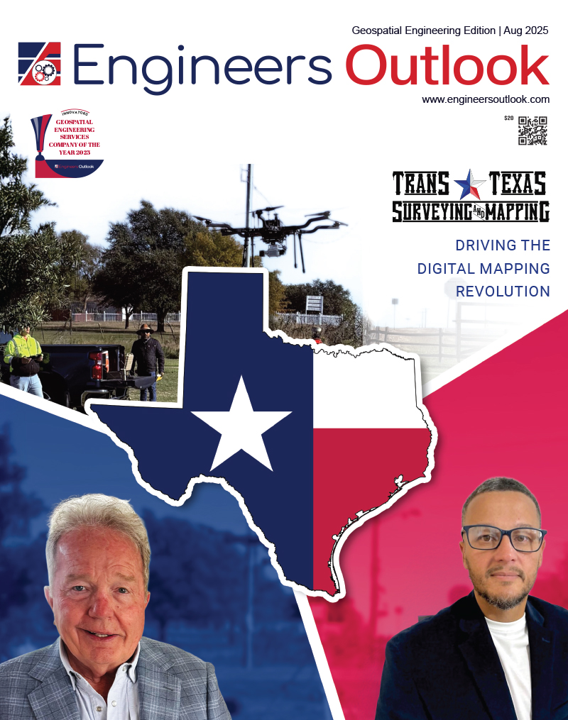
Trans Texas Surveying and Mapping: Driving the Digital Mapping Revolution
The geospatial and surveying industry is evolving at an unprecedented pace. With the proliferation of drone technology, terrestrial and aerial LiDAR systems, and increasingly complex client demands, companies in this space are under immense pressure to adapt. Traditional surveying methods are being redefined by real-time data collection, digital twins, and precision modeling, requiring firms to stay agile, innovative, and deeply technical. In this complex environment, some innovative firms have managed to punch above their weight like Trans Texas Surveying and Mapping (TTSM). Helmed by veteran surveyor Robert L. Young, the company has carved a niche for itself as a leading provider of 3D mapping and digital surveying services, backed by a relentless pursuit of excellence and a deep understanding of technology’s potential.
Robert L. Young’s journey is far from typical. With over four decades in the industry, he has witnessed the transformation from analog steel chains and hand drawn India ink maps to high-resolution 3D digital twins. His first-hand experience with everything from manual boundary surveys to real-time LiDAR classification gives TTSM an unmatched foundation. But what really sets the firm apart is not just history—it’s vision. “We bought the technology not because we had a big contract lined up, but because we believed in being the best,” Young recalls. “Everyone thought I was crazy to spend twenty grand a month on equipment. But I knew that if we could master this technology before others did, we’d lead the pack.”
And lead they did. From acquiring DJI drones in 2015 to integrating terrestrial LiDAR systems like the RTC360 and aerial sensors from Regal, TTSM has continued to stay ahead of the curve. These tools enable the company to deliver crystal-clear, high-resolution data that is essential for infrastructure development, rail, power distribution, and water management projects.
Technology-Driven Precision
At the heart of TTSM’s service portfolio lies a suite of technologically advanced systems designed to capture data from virtually every angle—ground-based, aerial, and even oblique. The combination of RTC360 terrestrial LiDAR, DJI L1 and L2 sensors, DJI P1 – 48 megapixel 35mm camera, and Reigl’s miniRanger-3 LITE premium aerial systems allows the company to produce survey-grade point clouds and digital assets with exceptional clarity. “Our clients don’t want complexity—they want accurate, simple deliverables,” Young explains. “So, the challenge is turning a very complicated process into something clear and usable. That’s where we differentiate.”
TTSM’s innovative spirit doesn’t end with tools. The company has developed proprietary workflows and educational material for clients and fellow surveyors alike. For example, every boundary survey they deliver comes with a high-resolution aerial photo overlay, complete with color-coded property corners and visual references. It’s survey data even a layperson can understand.
Technology, however, is only one part of TTSM’s secret. “The MAIN THING is our people. “Young emphasizes that the firm’s greatest asset is its small, close-knit team—each of whom brings unique expertise to the table. “People come first. Always. You can have the best tools in the world, but if your team isn’t passionate or trained, you’re going nowhere,” says Young.
Among TTSM’s standout team members is Alexis Cardona Lopez, a LIDAR expert who relocated from Puerto Rico after the 2017 hurricane devastation. Initially overlooked in previous roles, Alexis found a home at TTSM where his talents have flourished. His mastery of the RTC360 system and ability to manipulate complex point clouds has made him indispensable to the company’s success. “We call him our secret weapon,” says Young proudly. “He figured out things most people in big firms couldn’t. That’s the advantage of valuing your people.”
Another pillar of the team is Joe Don Draper, a skilled drone pilot and surveyor who has played a key role in deploying DJI and Harris drone systems. With three certified pilots on staff, TTSM can mobilize quickly for time-sensitive projects—often responding to client calls within 48 hours.
A Culture of Sharing
Unlike many competitors who keep their methods close to the chest, Young believes in transparency and mentorship. He often invites other surveyors to learn from his team, providing hands-on access to tools, workflows, and even live project data. “I’m not interested in hoarding knowledge,” Young explains. “There’s enough work for all of us. If we raise the bar for the entire profession, we all win.” This collaborative approach has not only helped TTSM build industry goodwill but also cemented its role as an educational leader in geospatial innovation. Young even delivers seminars on “People, Product, Profit”—his personal philosophy that puts human capital at the top of the value chain.
TTSM’s story isn’t just one of technological leadership—it’s also one of resilience. Before founding TTSM in its current form, Young owned five other surveying firms. One of them grew to over 80 employees and specialized in oil and gas before being taken down by an embezzlement scandal involving a major client. The resulting collapse left Young with a $7 million tax lien and nothing but a dream. “I slept on an air mattress in this office for nine months,” he recalls. “I had lost everything. But I knew I could rebuild if I stayed focused and surrounded myself with the right people.”
Rebuilding the company from scratch, he prioritized compactness, flexibility, and mastery over size. Today, TTSM is debt-free, profitable, and regarded as one of the most capable LiDAR-driven survey firms in the state of Texas.
Mapping the Future
Looking ahead, Young believes that the future of surveying lies in digital twins, data democratization, and integrated geospatial storytelling. From infrastructure modeling to civil engineering simulations, the demand for detailed, real-time geospatial data will only increase. “Everyone talks about 3D models. We’re already delivering them. We’ve moved on to 4D and 5D—interactive environments you can walk through with goggles,” says Young. “We’re not just mapping reality anymore. We’re creating the foundation for future innovation.”
While the road to this point wasn’t easy, Young views every obstacle as a lesson. Whether it was financial hardship, limited resources, or industry resistance to change, each challenge reaffirmed his belief in grit, gratitude, and giving back. As a pioneer in the industry, today Trans Texas Surveying and Mapping is more than just a survey firm—it’s a beacon of innovation. By combining cutting-edge technology with human ingenuity, and coupling precision data with a culture of generosity, TTSM is setting new standards in geospatial science. As Young puts it, “We’re not the biggest. But we’re the best at what we do because we care, we learn, and we share. That’s the legacy we’re building—one point cloud at a time.”
Trans Texas Surveying and Mapping
Robert L. Young, Owner
Alexis Cardona Lopez, 3D Laser Scanning Specialist
“Everyone talks about 3D models. We’re already delivering them. We’ve moved on to 4D and 5D—interactive environments you can walk through with goggles”