Mapping the Future of Innovation

Geospatial technology has evolved from static maps to dynamic, real-time intelligence systems that influence nearly every aspect of modern life. What was once the domain of surveyors and cartographers is now a critical enabler for industries as diverse as transportation, utilities, defense, environmental conservation, and public health. The pace of transformation in this field is extraordinary—driven by advancements in artificial intelligence, cloud-based processing, high-resolution satellite imagery, UAV mapping, and real-time data analytics.

This transformation is driven by the convergence of geospatial data with other emerging technologies. Artificial intelligence enhances predictive modeling, IoT sensors feed continuous location-based data streams, and cloud platforms ensure accessibility and scalability for users worldwide. These synergies are not just improving efficiency—they are helping societies prepare for the future. Whether predicting urban growth, mitigating the impact of climate change, or enabling rapid disaster response, geospatial solutions are proving to be indispensable.

However, the industry also faces pressing challenges. Data interoperability remains a hurdle as organizations strive to integrate varied datasets from multiple sources. Cybersecurity is increasingly critical as location-based data becomes more sensitive and valuable. Furthermore, ensuring equitable access to advanced geospatial tools is essential so that communities of all sizes can benefit from these innovations, not just large corporations or governments.

As we embrace innovation, one thing becomes clear—the future of mapping is far more than plotting points on a grid. It’s about creating a dynamic, interconnected world where data and location intelligence converge to inform, empower, and transform.


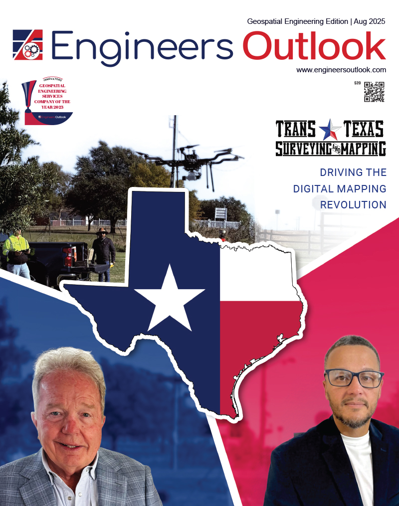
Trans Texas Surveying and Mapping

Management: Robert L. Young
Designation: Owner
Website:  transtx.com

The geospatial and surveying industry is evolving at an unprecedented pace. With the proliferation of drone technology, terrestrial and aerial LiDAR systems, and increasingly complex client demands, companies in this space are under immense pressure to adapt. 

Copyrights © 2025. All Right Reserved. Engineers Outlook.